This is a fun walk to do with children. They can explore the cave, climb a wooden ladder and go between rock walls to the circular earthworks of the fort.
SUMMARY
- Grade:Moderate – the ascent and descent to the hillfort is relatively steep ( especially if you take the extension of the walk down to the river), can be muddy, and you need to be careful not to trip over tree roots.
- Length:3.5 miles
- Key Features:King Arthur’s Cave, ancient hillfort, Seven Sisters cliffs. From the hillfort there are far reaching views across the valley and towards Monmouth.
- Refreshments:None en route – sorry!
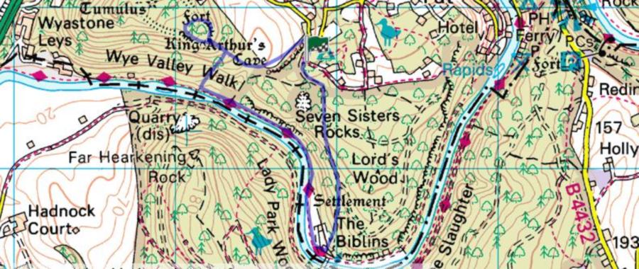
For an interactive version of this map click the image above or here
Route
Park opposite the campsite situated on the Doward ( at the top of the track leading down to the Scouts’ camping ground at Biblins on the Wye).
Retrace the way you came for about 10 yards, and turn left along the asphalted road for about 50 yards or so. Take the path to the left , until you get to a disused quarry in a small clearing, bear to the right of this, following the footpath signs, and walk past outcrops of rock. Towards the end of these outcrops there is a large cave, locally reputed to have been one used by King Arthur – although it’s difficult to know what he would have u sed it for!
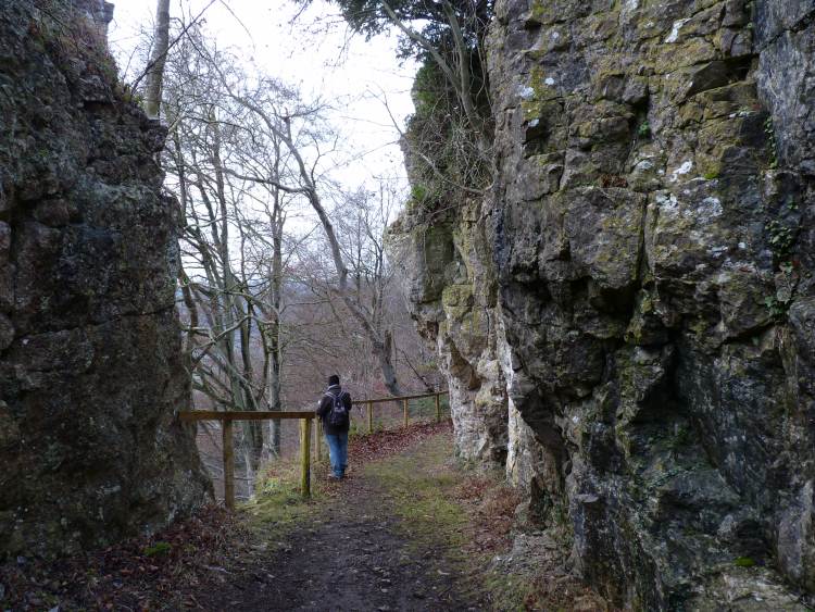
Rather than carrying straight on, as described in C1, you want to take the path more or less opposite the cave. This will reach a cross road of paths and you want to carry straight on. Eventually you will arrive at an old wooden ladder which you need to climb, then proceed to a stile, and turn left through rocky walls. If you continue to follow this path 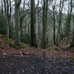 you will find yourself on the earthworks of the old fort. You follow the loop of these earth works around until you arrive back at the stile you came over when you started the loop.
If you would like to extend the walk after you have gone over the stile and walked down the path, you can take the path to the right ( at the ‘cross road of paths’ mentioned earlier) which will lead you down to the river. This is a steep muddy track, with plenty of tree roots to navigate.
At the bottom you go left between the river and the base of the Seven Sisters cliffs, until you reach the Biblins campsite. Take the track upwards and you will arrive back at your starting point.
The walk
We did this walk on a grey day in January (as you can see from the photos), the sort of day that lets you know that there’s a lot more of this before any green shoots venture out. The bright spots of the day were when, as we were just leaving the earthworks, a family with three or four small children had to negotiate the ladder and then venture between the lower walls. The children were like litte dots of bright light in the weariness of winter. Covered in colour and full of life, noise and excitement.


 Wye Walker