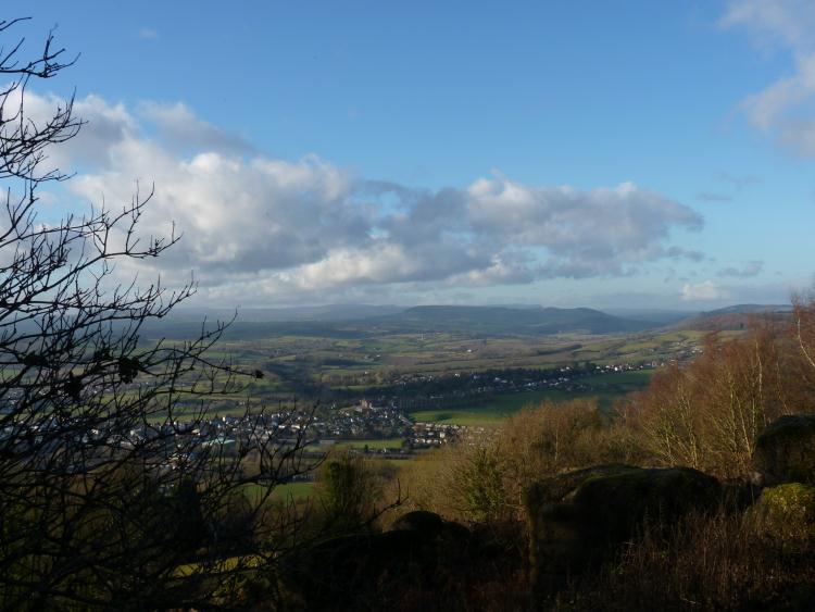
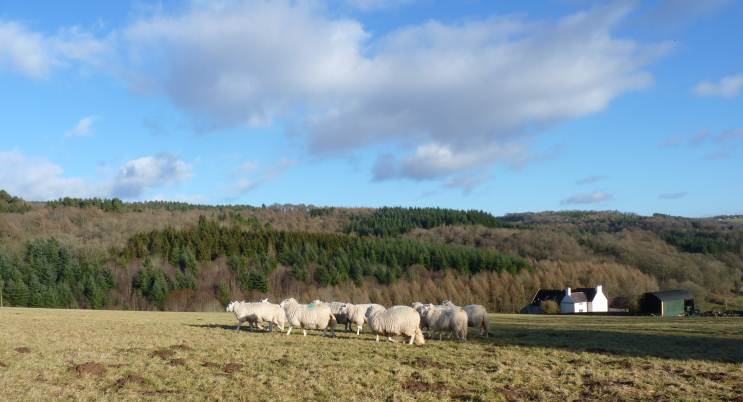
This is a lovely walk along the upper slopes of the valley, with far reaching views in many places. As well as being scenic, there are many reminders of the history of this area.
SUMMARY
- Grade: Moderate – There’s initially a climb up from Redbrook, then a stretch of straightforward walking to the Kymin and shortly beyond. However the last section involves a scramble up a steep slope, and then a long steep downhill descent, which can be very muddy and slippery.
- Length:6.2 miles
- Key Features: The Naval Temple at the Kymin, with far reaching views over Monmouth; remnants of the industrial heritage of Redbrook which included copper, iron and tin works; a brewery; the Wye Valley railway and the remains of a funicular trainway
- Refreshments: Redbrook shop, and pubs. Staunton – pubs. The Kymin is a popular family picnic spot.
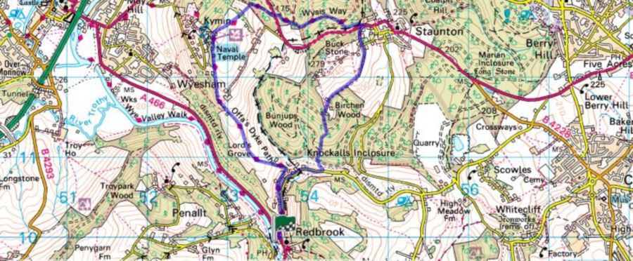 For an interactive version of this map click the image above or here
Route
Park your car in Redbrook village. We used the second car park on your left as you go towards Monmouth (or the first on the right coming from Monmouth). Parking charges have been introduced recently, so the other car park may be cheaper. Take the track just opposite the car park we used. The track runs above the A road a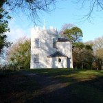 nd provides a bit of a shortcut. When you reach the B road turn right following signs to Offa’s Dyke footpath. A few hundred yards yards up the road continue to follow the Offa’s Dyke footpath as it takes a track to the left. After some distance, and just past some riding stables, the Offa’s Dyke footpath goes right through a wooden gate, and you continue to follow this long distance footpath as far as the Kymin – marked by a naval temple and wonderful views over Monmouth and beyond.
Walk away from the temple in the direction of Monmouth and just as you get into the trees, turn sharp right just in front of the footpath sign. Go through the gates, following the signs to Staunton road ( i.e. following the Wysis Way). At the bottom of the field you turn left in front of the fence, and follow the yellow arrows through a patch of oak woodland. Continue walking across a field, until you reach woodland and a large forestry type track. Ignore your OS map which at this point indicates you can carry straight on ( a yellow arrow was visible amongst the brambles –but there was no discernible footpath). Instead, follow the sign for the Wysis Way , and turn right along the track until it reaches a main road. If you look across the road and slightly to your left, you will see a footpath with a Wysis Way sign.
 Cross the road and go straight ahead, to a bigger track where you turn right, still following the Wysis Way signs. These take you along the track and right at a junction. After about a half mile of walking through the woods, you will come to a T junction. Here you leave the Wysis way ( which goes left), because you want to go right. After about 100 yards on the track, on your left you will see a small footpath and the remains of a yellow arrow on a tree. Your main intention now is to go parallel to the main road for ¼ mile or so, but without having to walk on the road verge, until you reach Staunton. Make your way through the woods as best you can, and you’ll find yourself channelled towards a cutting, where it is easier to discern a path. Make your way along this, avoiding the rubbish which people have thrown out of their cars, and you come to a point where you can go no further and have to scramble (carefully) up the bank to the main road.
Go left along the main road, and then take the first asphalted lane on your right, continuing straight on at the first junction. Go about 20 ya rds, and again continue straight on – past a house called Forest View. For ½ mile or so you follow the path that you’re on. You will then reach a cluster of buildings and you want to go to the right of these. On the day that we were walking the forestry commission had been doing a lot of work, and the paths were obscured – with occasional corpses of signposts poking out of the mud. Just after the buildings, you want to turn left along a track for a few hundred yards, until on your right hand side you see a relatively broad trail heading downwards – take this.
Follow the yellow arrows which will take you round a bend to the right, and then slightly further on you curve down towards the left, through a coppiced area. The path then heads steeply downhill, crossing twice over a broad forestry trail. About 20 yards down, after you have passed over the forestry trail for the second time, you’ll come across a fenced off section of the railway which used to go between Redbrook and Coleford ( this was being filled with earth when we re-walked this route in 2013). You’ll shortly reach a road, where you turn right. Follow this to the main A road and turn left to find your car.
The walk
After about 10 days of relentless grey wet cold weather, we had a brilliant blue Sunday with the brisk winter wind becoming more apparent the higher we went. The countryside itself looked battered, and the grass was suffering from post snow anaemia, but the brilliant clear light more than made up for this.
The downhill stretch into Redbrook was extremely muddy and slippery on the day that we were walking – both of us fell over at some point on this stretch, so beware. We had fun on the last stretch through Redbrook looking at house names, many of which are a reminder of the industrial past of this village – for example The Foundry, Stamper’s Wheel, The Malt House, The Old Brewery House. The name of the village itself originates from the fast flowing stream being coloured red by iron ore.


 Wye Walker