This walk is mostly in the woodland of this section of the Lower Wye Valley. It begins in Brockweir, but instead of heading towards the more touristy destination of the Devil’s Pulpit it goes along the foot of the cliffs which underpin the Pulpit, and returns along a disused railway track. It is rare to see people, apart from a few climbers, on this walk – and is ideal if you want some time for quietness and reflection.
SUMMARY
- Grade: Moderate – there are some easy uphill and downhill slopes, and some stretches can be slippy if there are icy or muddy conditions.
- Length:4.5miles
- Key Features: Views of the cliffs further south in the lower Wye valley; disused railway line – with tunnels and a bridge
- Refreshments: Tintern Abbey Mill; Brockweir Inn
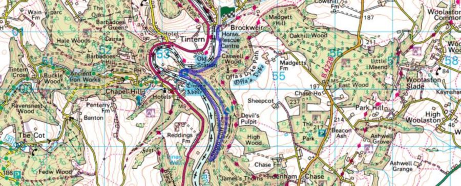
For an interactive version of this map click the image above or here
Route
Start at the pub in Brockweir, turn right and walk past the pub car park. Walk for about 15 yards, turn right again just before you get to a little bridge over a stream. Follow the path past 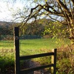 the old Moravian church to a stile which you cross over. Follow the river bank until a path cuts upwards across the field to another stile. At this point you turn right and walk along a path known locally as the old monks’ road, because the monks from Tintern Abey used to walk this way to get to their grange (farm) at Brockweir. The first stretch goes upwards for about 150 yards to pass through a metal gate. Continue to follow the path on a gradual uphill slope, until you reach a section of the path which goes over a railway tunnel. This section is marked by a stonewall on your right hand side. You need to take the path to the left, which is signposted towards Offa’s Dyke.
Follow this track upwards, ignore the path that goes off on your left after about 20 yards, instead follow the sign to Offa’s Dyke. Continue along and ignore another path which goes off to the left and continue veering around towards the right. The path undulates along the slopes until you reach a stretch where it goes more determinedly upwards until it reaches a forest track, where you turn right, heading downhill. This is quite a long stretch, and on your left you will pass signs with various letters and numbers on. These indicate climbs on the cliffs which you can see through the trees. The path eventually begins to go upwards. The good news is that you only have to walk up the first part of the upward slope, because you want to take the track which turns off towards the right, and you will find yourself walking downhill again. If you look ahead you will see the Piercefield cliffs ahead. These are part of the Wye valley gorge on the eastern side of the river, and you can see them because the river goes round a steep bend ahead of you. 
Towards the bottom of the downhill slope, you’ll come across another path which goes sharply right so that you’re going back on yourself. You need to take this path downhill, keeping to your right and ignoring any paths which go off on your left. You’re now turning around on yourself completely, and will find yourself walking back towards Tintern on a disused railway track. After about a mile, you may begin to catch glimpses of Tintern Abbey through the trees on your left hand side. You will also come across a fork to your right which leads to the closed mouth of a tunnel. At the time of writing there are proposals to turn the railway track into a cycle way which would go through the tunnel. You need to take the path to the left of the tunnel, and continue.
After about ¼ mile, you will come across a path on your right which is signposted to Brockweir. Almost opposite to where this path goes off to the right, there used to be a gate on the left of the disused railway line where you could go and have a better view of Tintern Abbey – but at the of writing (Jan 2013) this has been replaced by a high wire fence – hopefully the access to the Tintern Abbey view will be opened again at some point. However, to get back to your starting point you need to go up the right hand path, which will take you over the top of the tunnel and from there retrace your route back to Brockweir.
The walk
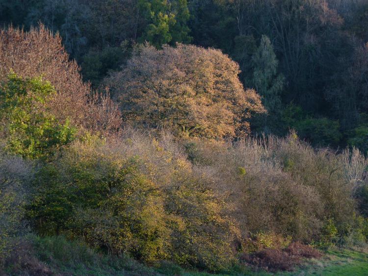
The day was bright and crisp, with the taste of a cold wind but not enough to blow the leaves around. It was one of those lovely autumnal days, when there’s still colour left on the trees, so they appear illuminated against a brilliant blue sky. Fallen leaves crackle at every step, occasionally giving way to reveal dark mud in the soggier places at the bottom of depressions under overhanging trees.
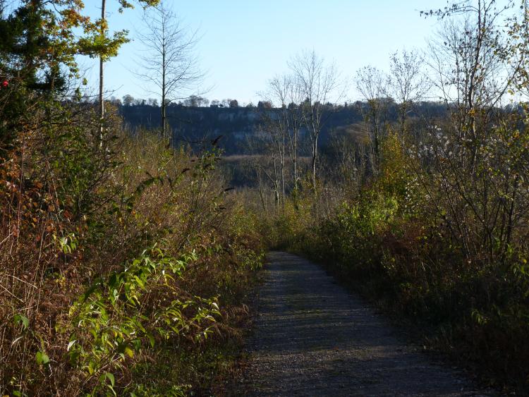
Walking down the slope towards the old railway line, the Piercefield cliffs in the distance are imposing, one of those views which remind you that the Lower Wye Valley is a gorge. In the late afternoon the sun was beginning to go down immediately ahead.
Thistles and old man’s beard have haloes. Perfect unblemished glossy rosehips make their own little worlds in a milky way made by light reflecting off dying seed heads.
Squirrels are too busy finding winter food supplies to worry about the occasional walker, although if they spot me they take a few minutes to pause, consider me, and then run off to carry on with their business.
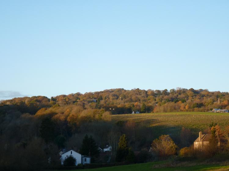
Coming back along the river towards the Moravian church, the sun is setting the top of the valley slopes on fire, and the houses in Brockweir are beginning to huddle down in the evening gloom.


 Wye Walker